The story of the first all-Ireland mapping survey 200 years ago
Article originally appeared on RTE Brainstorm.


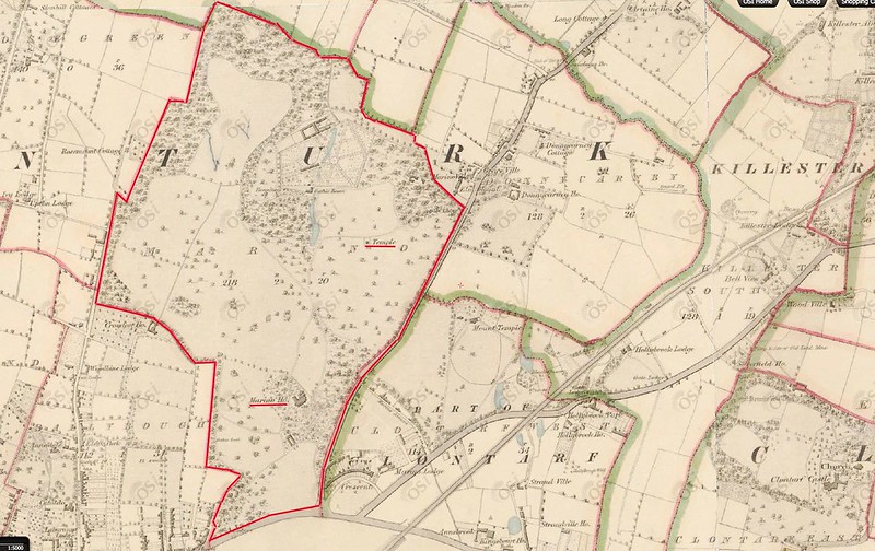
Maps help us to connect with our localities and many of us are familiar with maps of our local area. Historic maps in particular provide us with an important window onto our past and reveal how a place has changed over time. This year marks two centuries since the beginnings of the most detailed historic land survey of Ireland. Led by the British military led Ordnance Survey (OS), and popularised in the 1980s through Brian Friel’s play, ‘Translations’, the impacts and traces of the survey on Ireland’s landscape are still seen today.
We often will turn to the first edition Ordnance Survey maps to explore the townlands of our ancestors (perhaps where our families still live today), or to figure out the location of a particular building, well or a stream, or simply explore the complex geographies and histories of the island. The historic outputs of the Ordnance Survey challenge us too in how to reconcile the complex cultural heritage and legacies of the survey with what was the most detailed country-wide large-scale mapping and survey in the world at the time.
To continue reading please click here.
Article originally appeared on RTE Brainstorm
About the Authors
Professor Keith Lilley is an historical geographer at Queen’s University Belfast with particular research expertise in interpreting historic landscapes, maps, and built environments.
Dr Catherine Porter is an Associate Professor of Geography at the University of Limerick.
The featured image has been used courtesy of a Creative Commons license.